Gap-filling techniques
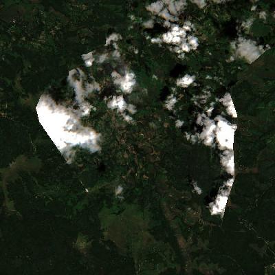
We develop an alternative method for filling gaps produced by clouds, called interpolation of the mean anomalies (IMA). The method uses spatio-temporal data to reconstruct images time-series.

Image smoothing
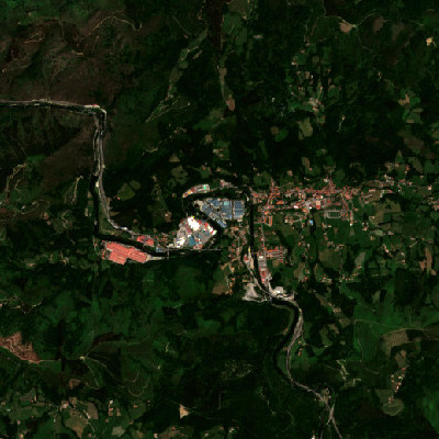
Satellite images can maintain residual noise arising from clouds removal processes. We did a study to show how ground-truth data from different data sources such as rainfall stations can smooth this noise and improve the quality of satellite imagery.

Downscaling procedures
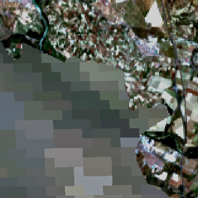
We are working in a fast and simple downscaling procedure to improve spatial resolution of satellite images time-series, for allowing spatio-temporal analysis of small regions.